EcoSEM

A simplified and highly visual representation of the different cause-and-effect relationships among the environmental components from which ecosystem function and services emerge.
EcoFunMAP + PlanWise4Blue
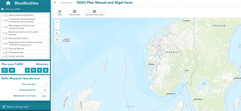
A cumulative impact assessment tool that combines with EcoFunMAP (Food Web-based Ecosystem Functioning Mapping and Assessment Platform). Integrates food-web modelling with species biomass to map indicators of food-web structure, stability, and functioning at scales relevant for marine spatial planning.
B4M
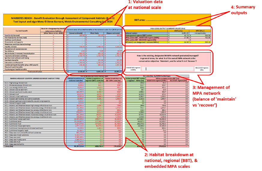
Uses a published methodology for estimating the value of marine environments at sub-national scales, for management purposes. Integrates natural capital accounting with spatial mapping of marine habitats, based on understanding of the links between habitats and ecosystem services.
EUTROPY
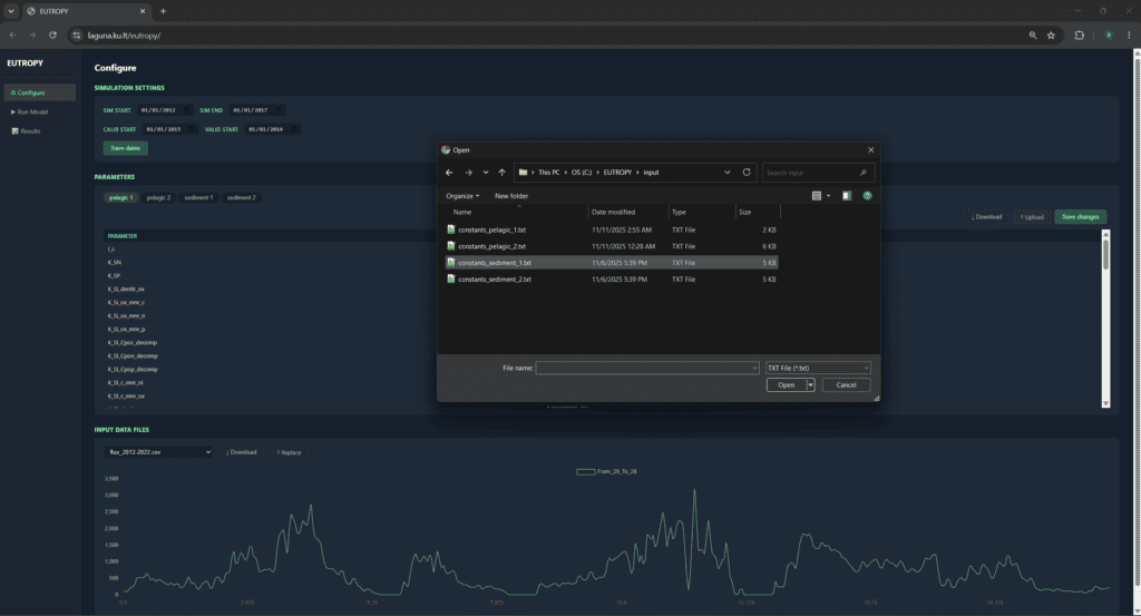
Model to integrate nutrient loading pathways, ecosystem responses, and management scenarios in aquatic systems. It provides simplified long-term simulations of scenarios across lakes, lagoons, estuaries, and coastal waters.