Travel Cost
Estimates the recreational value of natural locations by analysing how much people will pay to visit it. The difference between the maximum amount a visitor is willing to pay for visiting the site and the actual cost incurred in traveling to the site is the “consumer surplus” and can be used as a monetary expression of the value of the site.
Stated Preference Methods
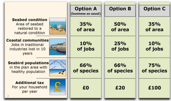
Questionnaire-based assessment of non-market valuation of environmental goods or services in a hypothetical market, such as improvements in water quality or biodiversity associated with an intervention policy. Willingness to pay (WTP) for the good is estimated using statistical procedures.
Complementary Accounting Network
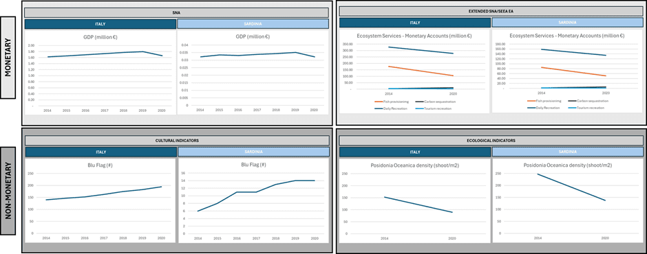
Combines both monetary and non-monetary aspects. Captures economic, ecological and socio-cultural dimensions (e.g., biodiversity and ecosystem services losses and gains, ecosystem health, inequality) over time at both national, regional or local scales.
Hedonic Pricing
EcoSEM
A simplified and highly visual representation of the different cause-and-effect relationships among the environmental components from which ecosystem function and services emerge.
Deriving faunal function from Zooscan imagery
Digital scanning of individual organisms to calculate size and biomass. This then can be collated with feeding and respiration information to provide improved estimates of population dynamics and overall ecosystem functioning.
Alternative Futures
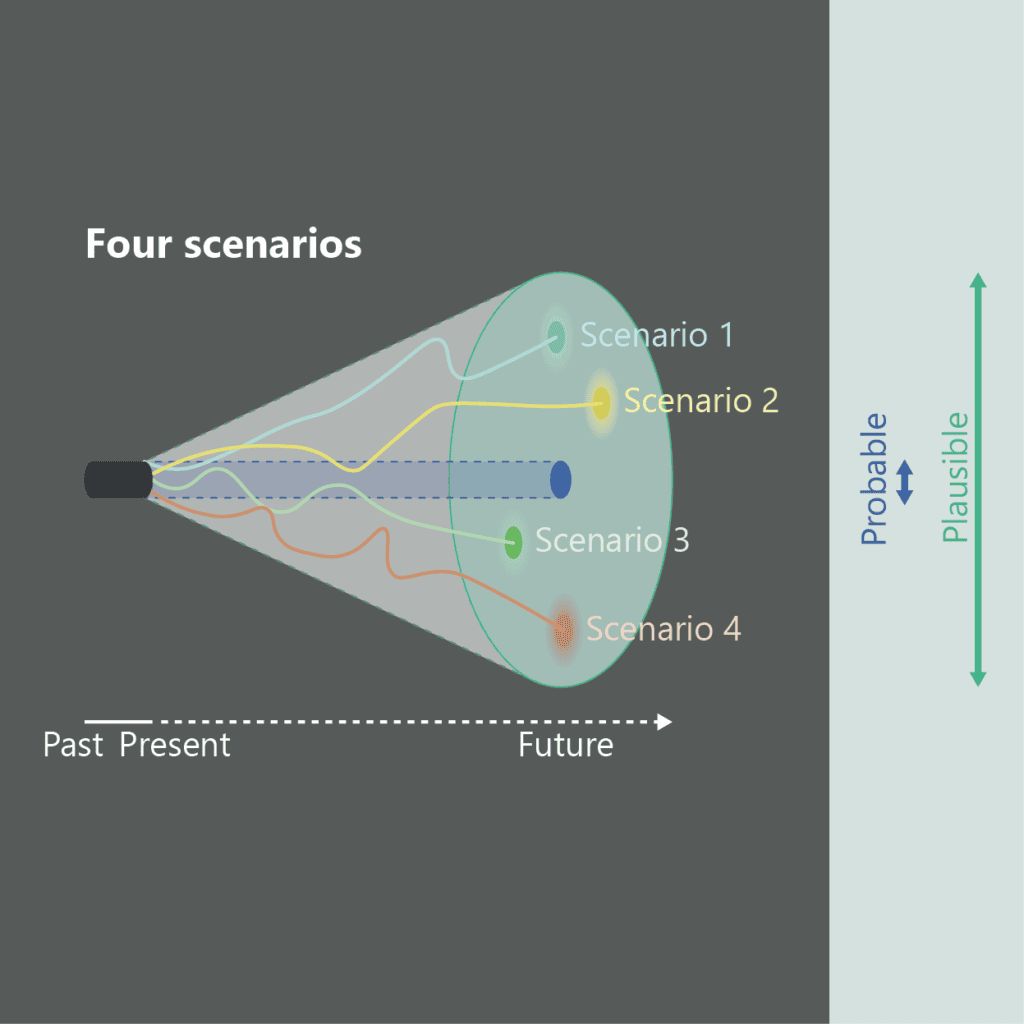
Takes current sets of environmental challenges and explores some of the possible future scenarios that plausibly may arise. It is a thought experiment to help promote and inform contingency planning for an uncertain future.
Bow-Tie Analysis

A structured risk and opportunity assessment methodology, based on ISO-accredited industry standards to analyse causes, consequences, and management options for biodiversity change in marine and coastal systems.
Physical Natural Capital Accounts
EcoFunMAP + PlanWise4Blue
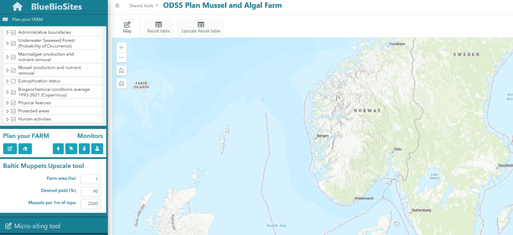
A cumulative impact assessment tool that combines with EcoFunMAP (Food Web-based Ecosystem Functioning Mapping and Assessment Platform). Integrates food-web modelling with species biomass to map indicators of food-web structure, stability, and functioning at scales relevant for marine spatial planning.